Mapping the Changing Arctic

Wildfire Data
Active and historical wildfire perimeters, fire tracking models, and data on far-north fire changes.

Climate Impacts
Research and data on environmental changes, permafrost thaw, and planetary climate warnings from the Arctic.

Subsistence & Access
Studies and experiential resources on how climate-driven disruptions affect food gathering and travel for Interior Alaska populations.

Mapping Tools
Web map applications, satellite imagery integration, and spatial data models for environmental research.
Tracing Historical Fire Perimeters
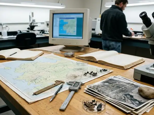
Monitoring data shows shifts in burn severity across the boreal forest. We map these historical fire perimeters in Interior Alaska from aggregated public data spanning 1940 to the present. This spatial data forms the baseline for understanding how permafrost thaw accelerates following severe burn events.

Researchers rely on this continuous dataset to model future risks. Integrating field measurements with spatial data models allows us to track these far-north fire changes accurately. By isolating specific burn scars, we identify areas where vegetation recovery lags behind historical norms.
Main Point: Continuous historical mapping provides the necessary context for evaluating current Arctic climate anomalies.
Satellite Telemetry vs. Ground Truth
Remote sensing offers broad coverage of the Arctic landscape. However, satellite imagery alone often misses the nuanced realities of shifting seasons on traditional food gathering. We contrast automated environmental change detection with direct community-based monitoring.

When ice thickness algorithms suggest safe travel, local observations frequently reveal compromised river crossings. Combining these two data streams yields a practical framework for assessing subsistence access. Field teams document physical trail conditions, which we then overlay onto our web map applications to calibrate the remote sensors.
Caution: Relying exclusively on remote sensing in high-latitude environments can obscure critical micro-climate variations affecting local populations.
Our Research Team and Methodology
Verification data supports our approach to cloud-native geospatial infrastructure. We prioritize open access to our spatial data models for environmental research. While our spatial models provide high-resolution environmental tracking, they cannot account for unpredictable, localized weather events in real-time.
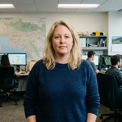
Emily Mercer
Senior Wildfire Data Analyst
Historical wildfire perimeters and burn severity mapping
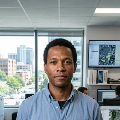
Marcus Ashcroft
Remote Sensing Scientist
Arctic satellite imagery validation and environmental change detection

Mei-Ling Chen
Climate Risk Strategist
Climate adaptation frameworks and Arctic decision support
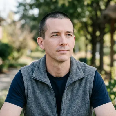
Thomas Whitaker
GIS Program Manager
Operational GIS workflows and public-facing mapping systems
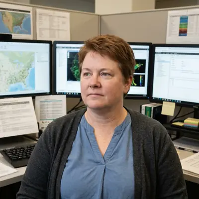
Rebecca Kalluk
Community-Based Monitoring Specialist
Subsistence access, local observations, and environmental change reporting
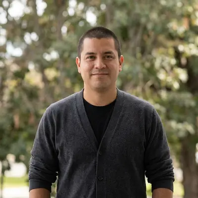
Gabriel Rojas
Geospatial Data Engineer
Cloud-native geospatial infrastructure and Arctic data integration
Latest Field Reports & Data Briefs
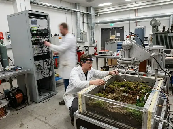
Understanding the Role of Lightning in Igniting Far-North Wildfires
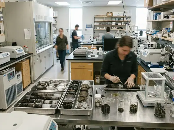
Permafrost Thaw and its Effect on Boreal Forest Ecosystems
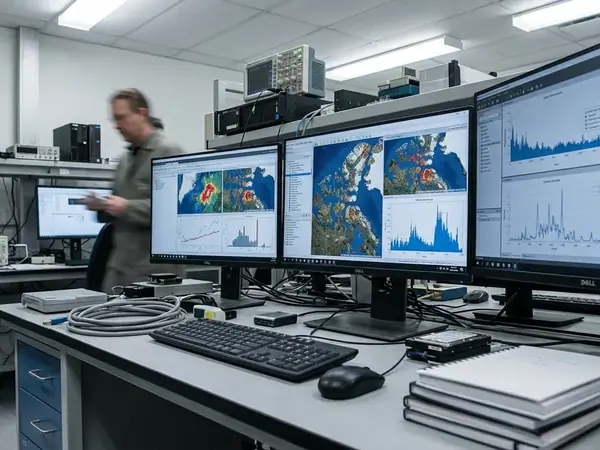
How Satellite Imagery is Improving Arctic Wildfire Detection
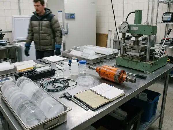
Living Off the Land: Navigating Changing River Ice Conditions

Planetary Warnings: What Far-North Fires Tell Us About Global Climate
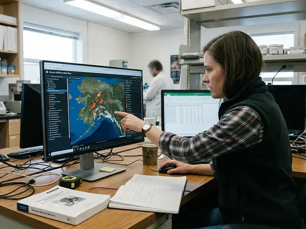
Using the Alaska Wildfires Web Map: A Guide for Researchers
Historical Fire Perimeters in Interior Alaska: 1940 to Present
How It Works
Discover
Explore topics that matter to you.
Create
Develop high-quality, researched content.
Share
Reach audiences who need this information.