Which experts track Arctic environmental changes?
A look at the people behind MapVenture's wildfire, climate, and access mapping — what each one does and why their work holds up.
Research Team Overview
Arctic environmental change is not a single problem. A fire scar, a thinning ice route, a satellite product documented as roughly two days behind reality — these belong to different disciplines, and no one person reads all of them well.
So the team is built around that fragmentation. One analyst lives inside historical fire records. Another spends her time talking to people who travel the ice. Between them sit the engineers and scientists who decide whether a given data product is trustworthy enough to put in front of a decision-maker.
The roles below are grouped by what each person actually produces, not by org-chart rank. We've tried to be honest about the limits too: Arctic ground-truth is sparse by nature, and several of these specialists spend as much effort flagging uncertainty as they do reporting findings.
Senior Wildfire Data Analyst
Wildfire in Alaska behaves differently than it does in the Lower 48, and reading it requires patience with messy archival data.
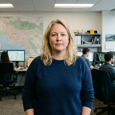
Emily Mercer
Senior Wildfire Data Analyst
Emily Mercer analyzes historical wildfire perimeters, burn severity, and response data across Alaska. Her work helps researchers and agencies compare fire behavior against climate, vegetation, and access constraints.
The value here is comparison. A perimeter on its own says little; set it against vegetation type and the road or river that crews would have used to reach it, and the record starts to explain why some fires were left to burn and others weren't. That framing feeds directly into our Wildfire Data work.
Geospatial Data Engineer
Start from a principle that sounds boring and turns out to matter enormously: if you can't reproduce a map, you can't defend it.
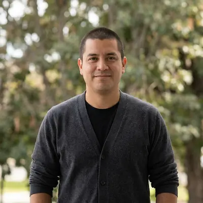
Gabriel Rojas
Geospatial Data Engineer
Gabriel Rojas designs cloud data pipelines for Arctic mapping products. His work emphasizes reproducibility, version control, and scalable integration of satellite and field observations.
Gabriel applies that principle by versioning everything — satellite tiles, field notes, the transformations in between. When a fire-perimeter layer changes, you can trace which input moved it. That sounds like plumbing, and it is, but it's the plumbing that lets the rest of the team make claims they can stand behind.
Remote Sensing Scientist
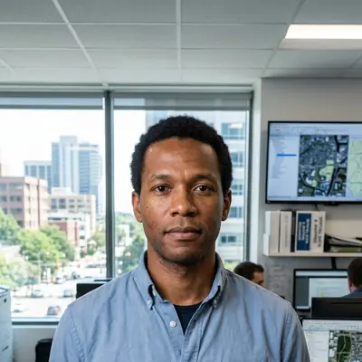
Marcus Ashcroft
Remote Sensing Scientist
Marcus Ashcroft evaluates satellite products used to detect Arctic surface change. His analysis focuses on accuracy, latency, and fitness-for-decision in high-latitude environments.
A satellite product can be accurate and still useless. If it resolves surface change beautifully but arrives assessed at around three days late, it won't help anyone deciding whether to move today. Marcus separates those two questions — how right is it, and how soon does it arrive, because at high latitudes, cloud cover and low sun angles degrade both in ways that mid-latitude comparisons never capture.
His verdicts are deliberately narrow. A product that's fit for tracking seasonal melt may be wrong for detecting a single overnight burn. He'll say which is which.
Climate Risk Strategist
The hard part of climate risk isn't gathering signals. It's weighing them against each other when they point in different directions.
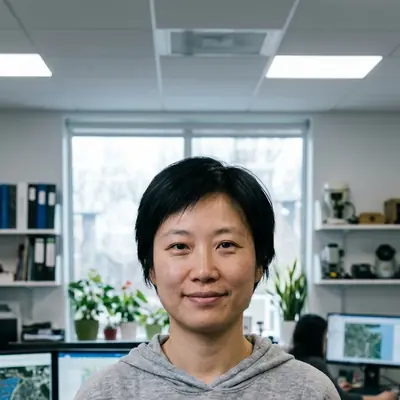
Mei-Ling Chen
Climate Risk Strategist
Mei-Ling Chen compares climate risk signals across infrastructure, ecosystems, and community access. She writes for decision-makers weighing uncertainty, cost, and timing.
Mei-Ling writes for people who have to act before the science fully resolves. A road may be at risk; a harvest route may be at risk; the budget covers one. Her job is to lay out the trade-off honestly rather than pretend the data settles it. Much of that thinking shows up across our Climate Impacts coverage.
Community-Based Monitoring Specialist
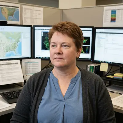
Rebecca Kalluk
Community-Based Monitoring Specialist
Rebecca Kalluk works with Arctic communities to document changing travel routes, harvest access, ice conditions, and local environmental observations. Her writing connects mapping practice with community priorities.
Satellites miss what a hunter notices the morning the ice won't hold. Rebecca's work brings those observations into the record — not as anecdote, but as a parallel data stream that often catches change before the imagery does. It's also where the team stays accountable to the people who live with these conditions, which shapes our Subsistence Access reporting.
GIS Program Manager
Raw spatial data and a tool the public can actually use sit a long way apart. Closing that distance is its own discipline.
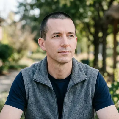
Thomas Whitaker
GIS Program Manager
Thomas Whitaker builds mapping workflows that move from raw spatial data to usable public tools. His work emphasizes governance, documentation, and operational reliability.
Thomas owns the part nobody sees until it breaks: documentation, governance, the question of who can change what and when. His standard is plain — a tool that works once in a demo isn't finished. It has to keep working when the data refreshes and the original author has moved on. That discipline runs through every one of our Mapping Tools.
One caveat worth stating: every result on this site inherits the thinness of Arctic field data. The team's job is less to eliminate that uncertainty than to make it visible, so you can judge how far to trust any given map.