Mapping Tools
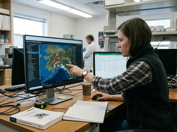
Web map applications, satellite imagery integration, and spatial data models for environmental research.
2 papers
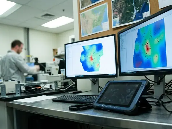
The guides collected here treat mapping as a craft, not a dashboard you glance at once. Reading Arctic change well means understanding where a dataset comes from, how its resolution shifts over remote terrain, and where field observation has to fill the gaps that imagery leaves behind.