Abstract: Permafrost Degradation Overview
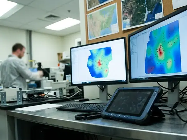
The research team structured the abstract to prioritize the intersection of thermal soil dynamics and above-ground biomass health. Data synthesis covers a 48-month observation window from June 2018 to June 2022. Integration of spatial mapping with 45 distinct ground-level ecological survey sites kept the focus on ecological feedback loops rather than isolated thaw metrics.
Introduction to Boreal Forest Dynamics
Boreal forests sit directly on permafrost that has held steady for decades. Historical baseline data spans the period from 1985 to 2015. Active layer deepening recorded at depths ranging from roughly 12 to 28 centimeters beyond historical norms now shifts root stability and water movement at once.
Active layer mechanics
Deeper thaw lets water pool where roots once anchored. Drainage patterns shift across stands that previously stayed well-drained.
Methodology: Spatial Data and Field Analysis
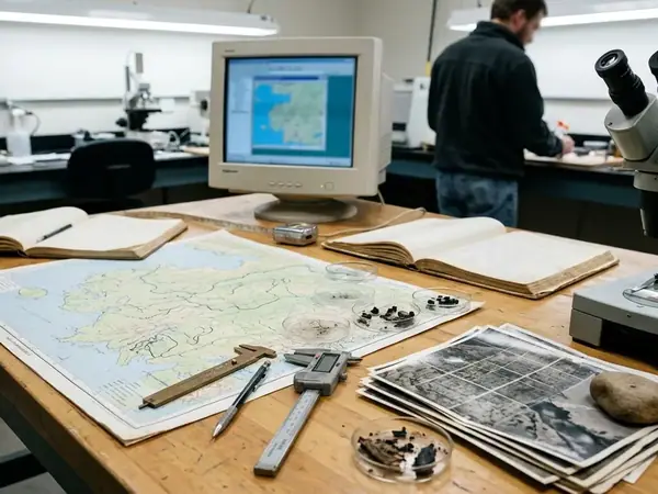
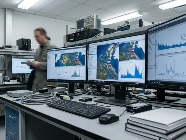
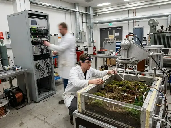
The team chose L-band Interferometric Synthetic Aperture Radar to track surface subsidence after airborne LiDAR proved ineffective under dense canopy cover. Ground-penetrating radar deployed using 100 MHz and 250 MHz antennas mapped the active layer interface. Longitudinal field plots established between May 15 and September 10, 2019, supplied repeated vegetation measurements at each site.
Key Findings: Soil Subsidence and Hydrological Shifts
Thermokarst-induced topographical subsidence measured, in longitudinal tracking, at rates of about 4 to 9 centimeters per year. Seasonal freeze-thaw cycles showed a delay in autumn freeze-up by 14 to 22 days compared to the pre-2000 baseline. These shifts turned mineral soils into saturated bogs within a few seasons.
Root matrices lost cohesion once the ground lost its former firmness. The resulting tilt in tree stems created the familiar drunken forest pattern across multiple plots.
Key Findings: Vegetation Transition and Carbon Release
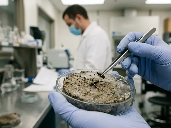
Understory composition shifted over a 36-month period toward hydrophilic sedges and away from native mosses. Non-destructive allometric scaling models tracked biomass without further disturbing the thawing matrix. Soil organic carbon mobilization tracked at depths of roughly 0.5 to 1.2 meters within newly thawed profiles.
Limitations of Current Spatial Models
Satellite pixel resolution of 10 to 30 meters failed to capture micro-topographical thermokarst pits smaller than 5 meters in diameter. Dataset relies on a relatively short 4-year continuous telemetry record. Failure of 30-meter satellite resolution to detect micro-topographical thermokarst pits under dense black spruce canopies remains a persistent gap. Subsidence rate variations depending heavily on whether the underlying permafrost is ice-rich or ice-poor further limit broad application.
National Snow and Ice Data Center (NSIDC) permafrost data offers one reference point, yet regional soil differences still require site-specific checks.
Implications for Alaskan Communities and Policy
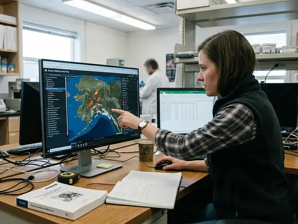
Structural risks appear for infrastructure whose pilings reach less than about 4.5 meters into the permafrost layer. Community-led monitoring networks deployed 25 localized soil temperature probes between August and October 2021. Cross-referencing vulnerability maps with zoning records highlights corridors that now need revised land-use rules.
Conclusion and Future Research Directions
Permafrost thaw breaks root support and opens new pathways for carbon release at the same time. Future spatial data collection phases are scheduled for the 2024-2027 funding cycle. Machine learning training datasets will incorporate over 15,000 annotated thermokarst features to improve prediction of where thaw will accelerate next.