From Historical Burn Baselines to Dynamic Climate Projections
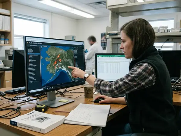
The Anaktuvuk River tundra fire exposed a weakness in treating Arctic fire history as a fixed planning boundary. A landscape with a long interval since its previous reconstructed fire could still support extensive burning when weather and fuels aligned. For Alaska’s wildfire data, the practical question became how to represent that possibility before another large event.
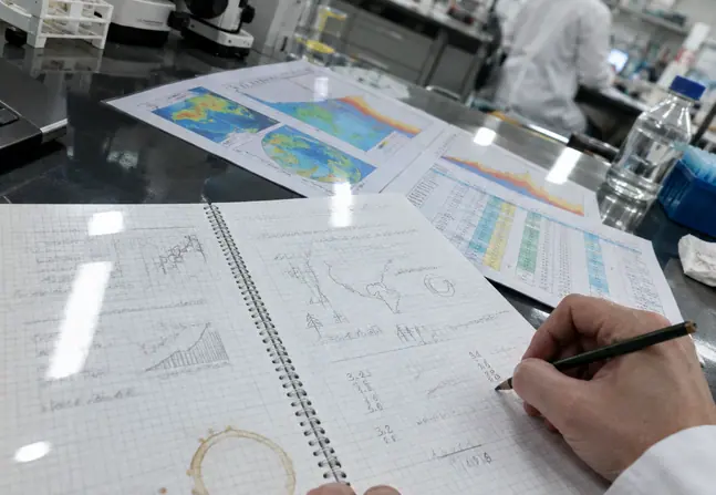
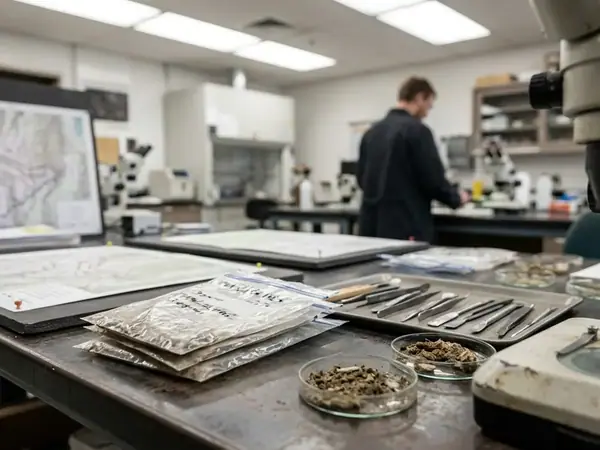
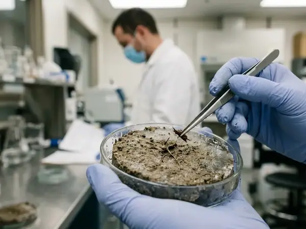
Historical baselines remain essential. Multi-decade satellite records describe recent burn patterns; charcoal preserved in lake sediments extends the view beyond satellite observation. Together, they establish recurrent burning in boreal forests and much rarer fire in tundra. These records describe characteristic intervals rather than dependable schedules.
Reconciling Perimeters, Hotspots, and Burn Scars
The Alaska Large Fire Database supplies historical perimeter polygons, while MODIS and VIIRS provide active fire detections. Those observations represent different things: a perimeter encloses a mapped fire footprint, and a thermal detection locates heat during a satellite overpass. Landsat Burned Area mapping provides a common spatial reference for comparing burn scars with those records. Yukon Flats lake-sediment reconstructions add a longer ecological baseline.
Prolonged summer warmth and extreme thaw conditions weaken the assumption that past burn patterns will persist. Dynamic modeling therefore couples historical evidence with atmospheric forcing and changing land cover. The Alaska Fire Science Consortium research archive provides a regional starting point for examining the science behind those changing assumptions.
Thermodynamic Drivers: Temperature Anomalies and Vapor Pressure Deficits
Atmospheric drying demand rises when the gap widens between the moisture air could hold at saturation and the moisture it actually holds. That gap, vapor pressure deficit, helps explain why a warm summer can prepare fuels for ignition well before a lightning outbreak.
Downscaled climate projections connect summer temperature anomalies and snowmelt timing with that drying process across interior Alaska and the North Slope. Earlier snow disappearance lengthens exposure to evaporation and transpiration. Sustained moisture loss can then extend into organic duff and peat, although surface weather alone cannot establish how deeply those layers have dried.
The Canadian Forest Fire Danger Rating System separates relevant moisture responses through its Duff Moisture Code and Drought Code. Examining these alongside vapor pressure deficit helps distinguish atmospheric demand from accumulated drying in organic fuels before peak convective lightning activity.
Resolving the Brooks Range Rain Shadow
Coarse atmospheric grids smooth mountain barriers and river basins. Regional modeling therefore needs downscaling that represents the Brooks Range rain shadow and drying associated with foothill winds. WRF simulations and PRISM climatology baselines offer different tools for bringing broad climate projections closer to terrain-sensitive conditions.
Coastal Grid Blind Spots
Marine stratus and sea-ice breeze fronts along the Beaufort Sea operate below the scale resolved by regional grids. A detailed-looking coastal output can therefore retain substantial uncertainty about local fuel drying.
Tundra Shrubification and Boreal Succession in Fuel Load Matrices
Two vegetation trajectories can push wildfire probability in opposite directions. Expanding willow and dwarf birch can connect woody surface fuels across graminoid tussock tundra. Following severe boreal burns, recruitment of Alaska paper birch and quaking aspen can interrupt the conifer fuel structure that previously supported crown fire.
The difference matters when assigning future fuels to a model pixel. Shrub expansion changes the continuity available for surface flame propagation. Deciduous recruitment changes canopy moisture and vertical fuel arrangement. Applying one warming-related flammability adjustment to both ecoregions would obscure those mechanisms.
Following Succession Through ALFRESCO
Within the ALFRESCO state-and-transition framework, soil organic layer consumption helps determine post-fire recruitment probabilities. A severely altered seedbed can shift a stand away from self-replacing black spruce toward birch or aspen. Moisture-retaining deciduous foliage then reduces the potential for crown fire compared with resinous conifer canopies.
That protective interval has an ecological endpoint: understory black spruce can eventually restore vertical ladder-fuel continuity. Meanwhile, shrub connectivity develops across warming tundra over decades. These feedbacks produce nonlinear changes in wildfire probability, including temporary reductions in some boreal stands alongside increasing fuel continuity farther north.
Vegetation state and time since disturbance must travel with the climate scenario. Otherwise, the model loses the succession process that determines which fuels future weather will encounter.
Translating Spatial Probability Layers into Fire Management Zones
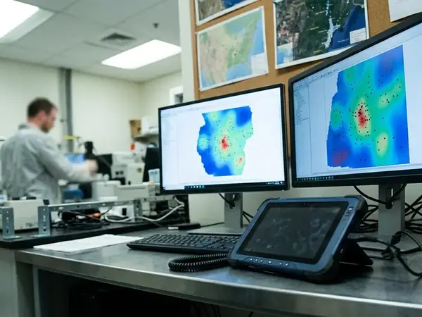
A burn probability raster answers a different question from a flame-length layer. The first describes simulated burning frequency across model runs; the second describes potential fire behavior under specified conditions. Fire return interval departure maps add a historical comparison. Planning requires keeping those meanings visible when combining layers.
ALFRESCO outputs can be intersected with LANDFIRE fuels in FlamMap to develop conditional flame-length mapping. Comparing SSP2-4.5 with SSP5-8.5 then tests how management priorities respond to different emissions pathways. Fine output pixels do not establish equivalent precision in the underlying long-range climate inputs.
Building a Community Protection Overlay
- Fix the comparison. Record the emissions pathway, planning horizon, vegetation assumptions, and modeled weather conditions for each layer.
- Separate likelihood from behavior. Display burn probability and conditional flame length independently before combining them into planning zones.
- Locate exposed assets. Overlay utility corridors, community infrastructure, and locally identified subsistence routes. Include village planners and tribal councils when checking what the asset inventory misses.
- Screen ground stability. Intersect proposed treatment areas with ice-rich Yedoma and permafrost thaw hazard mapping before drawing clearing boundaries.
- Test the zone across scenarios. Identify infrastructure that remains exposed across pathways and areas whose priority changes with model assumptions.
For subsistence & access planning, mapping tools should retain the distinction between a potentially exposed route and a route assessed as usable during an incident.
Allocating Suppression Resources Across Shifting Eco-Regions
Regional managers face a concrete allocation choice when historically low-risk tundra develops persistent ignition potential. Moving readiness toward emerging shrub corridors strengthens early response there, while leaving fewer finite assets available for established boreal priorities.
Reviewing updated ignition layers against the Alaska Interagency Wildland Fire Management Plan’s Critical, Full, Modified, and Limited options makes that trade-off explicit. Seasonal operating assumptions also need review when modeled drying and fuel connectivity shift beyond historical patterns.
Mechanical fuel breaks offer a physical interruption where ground conditions permit treatment. Suppression readiness can take priority where clearing would damage ice-rich terrain: stripping the insulating organic mat can trigger thermokarst subsidence and convert a containment line into an access obstacle. Fuel-break placement therefore needs to account for the ground that crews and equipment must cross after treatment.
When predictive models indicate that a historically fire-resistant Arctic basin is crossing into a frequent-burn regime, will agencies reallocate finite suppression assets toward emerging tundra corridors now, or wait until the first major wildland-interface loss forces a reactive boundary redraw?